Pennine Way
Dufton to High Cup Nick return via Murton Pike
Cumbria
Distance 20.8km Climb 770m
Tuesday 7 March 2017
I had seen this walk a number of months ago in a magazine but I cannot recall which magazine it was. Since completing The Pennine Way a few years ago I had always wanted to revisit High Cup Nick, today I was going to do just that. The weather was perfect.
I left the car at the car park in Dufton and walked left a few meters to take a photo of the village fountain. Returning back to pass the car park and to follow the road to the left.

As the road bends round to the right, before the Methodist Chapel I took the footpath straight ahead north east, signposted Pennine Way out of the village.

After passing the houses The Pennine Way continues left, I stayed on the track heading north east around the eastern side of Dufton Pike. The path was very wet, almost like a river in places, muddy, slippery and I started to climb gently away from the village.

It was very warm walking today, so I decided to remove a layer of clothing. I had not expected it to be as warm as this.


After approx 2km I passed through a gate and the path continued up high, by the side of Great Rundale Beck.

Passing old mine workings, the path crosses Great Rundale Beck as it continues to climb up hill. A very steep climb for a few hundred meters.

As the path levels at the top I was at Great Rundale Tarn (670m) with its hut. It was a little cooler here.


After a cup of hot chocolate I headed south easterly over open countryside. The ground was very soft in places and I had to skirt around a number of boggy areas. Passing the 699m cairn I headed towards the 692m trig point.

I was a little sad to see the 692m trig point so damaged and the plate missing. After a couple of photos I continued south easterly along Backstone Edge. I could hear curlew calls as I moved across the open ground.

Crossing a small boulder field I stopped to walk around the Narrowgate Beacon (656m). I crossed more boulders as I continued south easterly.


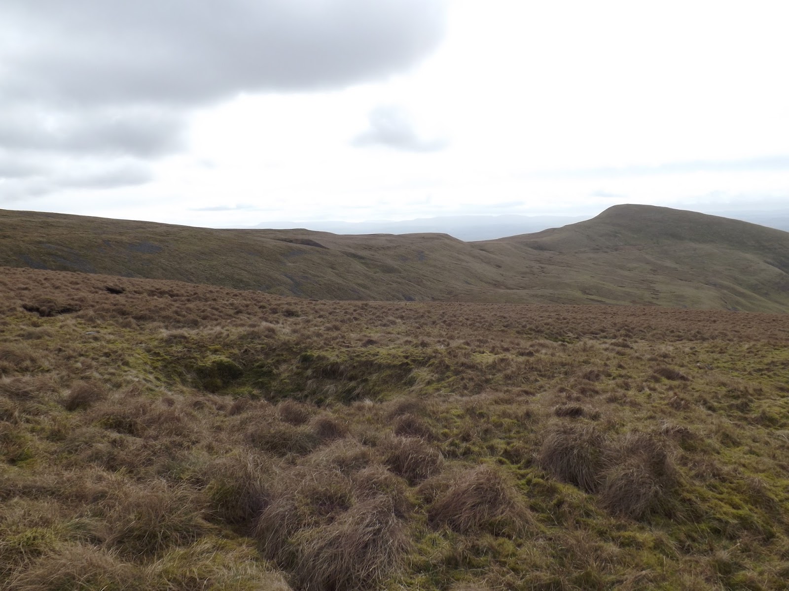
Reaching a cairn I turned north east to follow along the top edge of High Cup Gill.

The views were stunning as the Gill opened up below me. I was on the high point and could see a number of other walkers moving up The Pennine Way.


I continued around the edge until I found a route down onto High Cup Plain.

Walking around High Cup Nick I stopped occasionally to take a few photos.

Wondrous.

Stunning.


Moving around the eastern side of the Gill I was now heading south west following the edge of the massive feature. It was along here I stopped for my sandwiches and another cup of hot chocolate.

After my sandwiches I continued south west along the edge.

After a small climb I crossed a stream and then climbed a style over a wall. The path I took turned south over open country heading towards Murton Pike.
I contoured around and found I had come too far down. If I had continued on this route, there would have been a steep down hill followed by a steep up hill, so I made the decision to continue round the side of the hill and climb a little. This allowed me not lose too much height when I dropped down to cross the stream.
The area is full of shake holes, some empty, some full of water, and a few with deep patches of snow.
I had to climb down an area of boulders, climb a wall before I crossed the stream. Followed by a steady climb to enable me to contour the south west of Murton Fell for an easy approach to Murton Pike.

It was a short, very steep climb up to the trig point (594m).


Following the route from the magazine I dropped down the western side of Murton Pike. The route in the magazine shows you cross over one footpath to reach the footpath from High Cup Gill north east of Harbour Flatt. I found signs saying private, rather than crossing private land I edged to the west of Harbour Flatt looking for the footpath coming from the south. Eventually after crossing a couple of damp, very wet muddy fields I reached the track and then onto the road.
Turning right, north west I walked approx 2.5km along the road. In the distance far to the south west I could see snow on many of the hills of the Lake District.

The road was very quiet with only one car passing. Eventually I reached Dufton.

It had been a good days walking. I had covered 20.8km with a 770m climb. Very good, I will be coming back here, hopefully soon.
More to follow.
Boz North
Details correct at time of walking.
If you have enjoyed reading my walk or found it useful you may also like to read other walks I have done in Cumbria or other areas. Please check out the links on the right hand side.
No comments:
Post a Comment